
Survey and Right-Of-Way
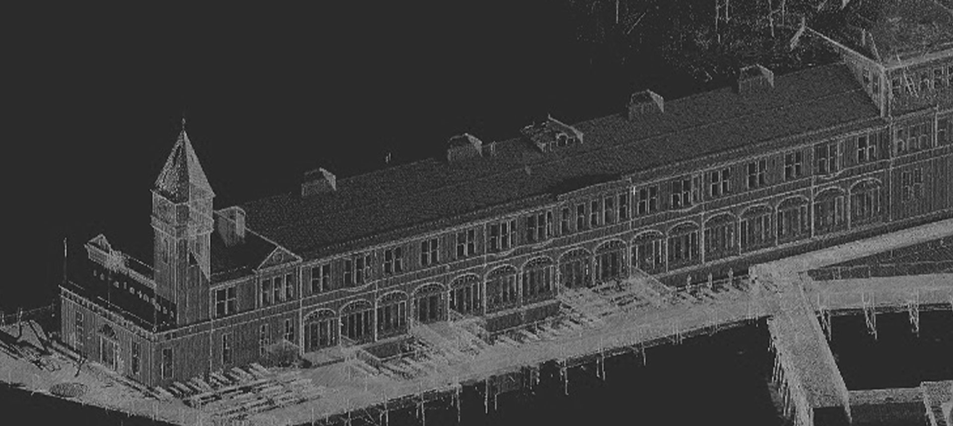
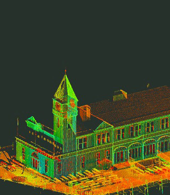
The backbone of the Survey Department is our highly experienced crews and their state-of-the-art electronic, survey equipment. We are committed to the expert and efficient use of engineering computer workstations, software, survey equipment, and technological advances. This commitment provides final products and accurate data while saving clients time and money. We also perform 3-D laser scanning, topographic mapping, right-of-way mapping, hydrographic survey, GPS survey, and most recently we utilize drones.
- Topographic & Utility Survey
- LiDAR/3D Laser Scanning
- Drone Survey
- Right of Way and Property Acquisition